

Weather Alert in Florida: Heavy Rains and Flood Risk
Translated with AI from the original article in Spanish. Leer la noticia original en español
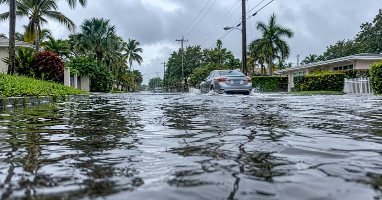
The state of Florida is on alert for the arrival of a heavy rainstorm that could leave accumulations of up to 20 centimeters (8 inches) of water in several regions, significantly increasing the risk of flash flooding.
Key Points of the Storm
- Extreme Accumulations: Forecasts estimate that the state could receive massive volumes of water—calculated by meteorologists at several trillion gallons—over the coming days.
- Highest Risk Zones: Urban areas with slow drainage, coastal sectors, and the northwest part of the state are among the most vulnerable points for street flooding and rapid water accumulation.
- Dual Impact: While the water input may alleviate previous drought conditions in certain parts of the territory, the high intensity over short periods represents a direct threat to mobility and residential structures.
- Official Precautions: Authorities recommend avoiding travel through flooded roads ("Turn around, don't drown"), securing outdoor objects, and monitoring local National Weather Service alerts.
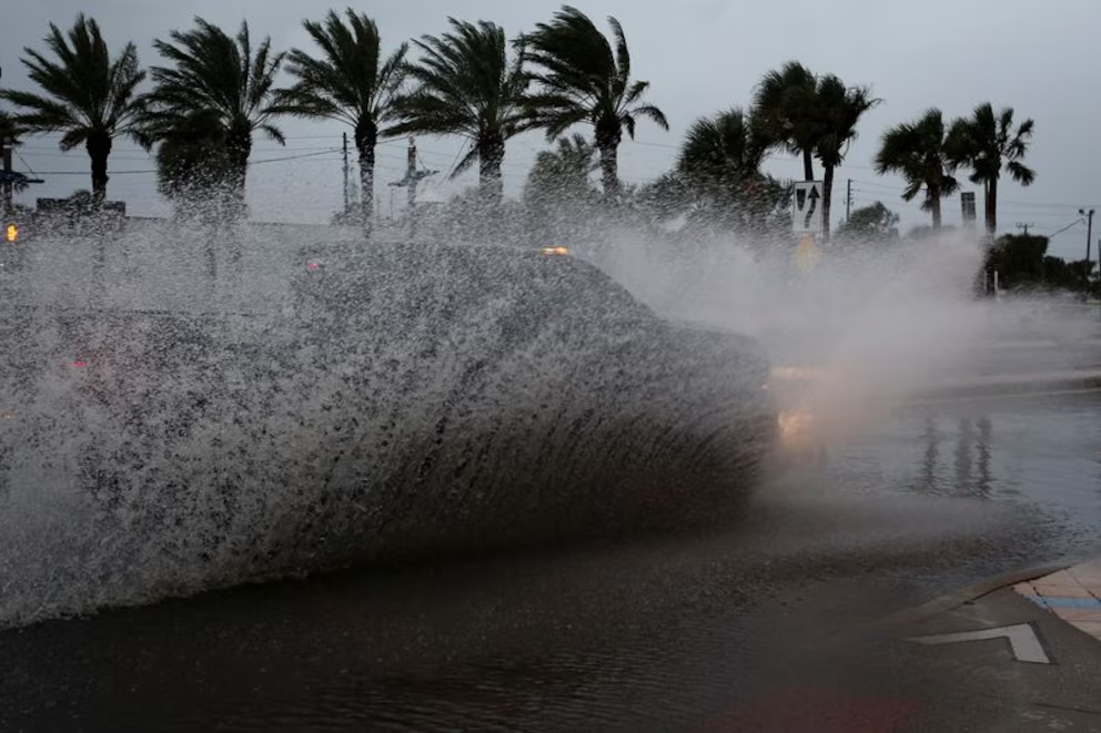
The constant flow of tropical moisture and the interaction of low-pressure systems over the Gulf of Mexico and the peninsula keep various areas of Florida under a flood watch. With soils already presenting high levels of saturation after previous days of precipitation, the ground's absorption capacity is minimal.
- Projected accumulations: Between 7.5 and 15 cm (3 to 6 inches) generally, with isolated spots that could record up to 20 cm (8 inches).
- Sectors under close watch:
- Northwest Florida (Panhandle) and North: Areas along the I-10 and I-75 corridors where flash flood watch alerts are concentrated.
- Low-elevation urban and coastal zones: Streets with slow drainage, underpasses, and riverside communities prone to the overflowing of streams and canals.
- Associated risks: Sudden puddling on main highways, local power outages due to wind gusts and falling branches, as well as slowed vehicular traffic.
Practical Prevention and Safety Measures
- Avoid crossing flooded roads: Less than 30 cm (1 foot) of moving water can displace most compact vehicles.
- Clear drains and gutters: Remove dry leaves and debris from the perimeter drains of the home to avoid flooding in driveways and yards.
- Check sump pumps and supplies: Verify the operation of drainage systems in garages and keep flashlights, batteries, and weather radios handy.
- Official monitoring: Follow real-time updates from the National Weather Service (NWS) and local county Emergency Management offices.
Image: ElHispanoParaTodos/PRESS
Get our news on Google⭐ Add El Hispano as a preferred source on Google